mountain of god
How Tall is Ol Doinyo Lengai?
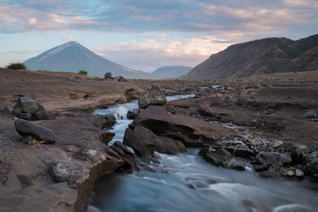
Where is Ol Doinyo Lengai Located?
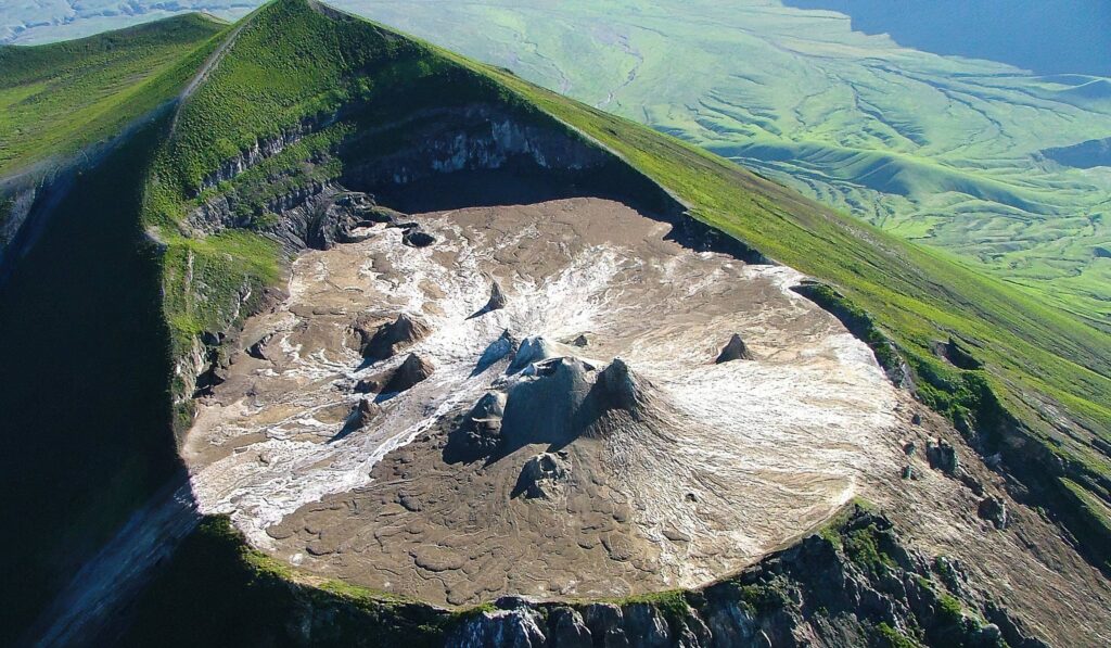
Ol dointyo Lengai is Located near Lake Natron and within the East African Rift. Its remote location is part of the Ngorongoro Conservation Area, making it accessible yet preserved in a largely untouched state.Unlike typical volcanoes, its carbonatite lava is cooler (around 500–600°C compared to 1,200°C for basaltic lava), making it less explosive but incredibly fascinating to scientists and adventurers alike.
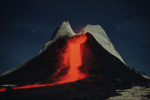
Ol doinyo lengai Last eruption
What does the Name Mean?
Ol Doinyo Lengai means “Mountain of God” in the Maasai language. The Maasai people, who live in the surrounding areas of northern Tanzania, view the volcano as a sacred site. It is a place of worship and ceremonial rites, believed to be the home of their god, Enkai.
Climbing Ol'donyo Lengai
Best Time to Visit
The best time to hike Oldoinyo Lengai is during the dry seasons:
June to October
December to February
These months offer clearer skies, safer trails, and unforgettable sunrise summit views.